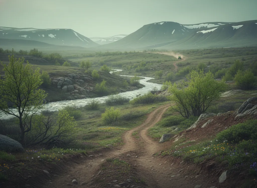
The Big Piney Ranger District of the Mark Twain National Forest manages OHV trails in the north-central Missouri Ozarks of Pulaski, Texas, and Phelps counties, the rolling forested plateau country around Waynesville and the Big Piney River corridor that forms a distinct northern Ozark riding zone, positioned between the St. Francois Mountains district (Berryman Trail, Washington County) to the east and the Ava/Cassville districts of the deeper southern Missouri Ozarks to the south. The Big Piney River is one of Missouri's designated Ozark National Scenic Riverways tributaries, a clear-water Ozark stream that drains the Big Piney plateau through the forested Springfield-to-Salem Plateau transition zone before joining the Gasconade River to the north. The OHV trail network follows designated routes through the Mark Twain NF's Pulaski County blocks, threading through the shortleaf pine and mixed-hardwood forest on the plateau terrain above the Big Piney and its tributaries. Pulaski County is home to Fort Leonard Wood, the Army training installation whose surrounding national forest buffer creates the large undeveloped forest block that the Big Piney OHV system occupies, the military reservation and the national forest together form one of the largest contiguous forested areas in Missouri outside the Mark Twain NF's southern districts. The terrain is classic Missouri Ozark plateau: chert-covered uplands under open shortleaf pine and scarlet oak, the rocky creek bottoms dropping to clear-water tributaries of the Big Piney, and the cedar glades on the drier south-facing slopes. Mark Twain NF permit required. Big Piney Ranger District at Waynesville (573-774-5711) manages current trail conditions and seasonal closures.
Hours
Open year-round on designated OHV routes. Mark Twain National Forest OHV permit required. Trails may temporarily close during wet conditions.
Phone
573-774-5711Trip openings, seasonal updates, and the occasional deal, straight to your inbox.
FAQ
Everything you need to know before you get started.
Have a question, or ready to book? Reach out and we’ll get right back to you.